Local transportation reimagined
Better London Travel

- Download
-

- Website
- https://twisterrob-london.appspot.com/LineStatusHistory?current=false&errors=false
- Screenshots
- View
Screenshots
Inception
First idea
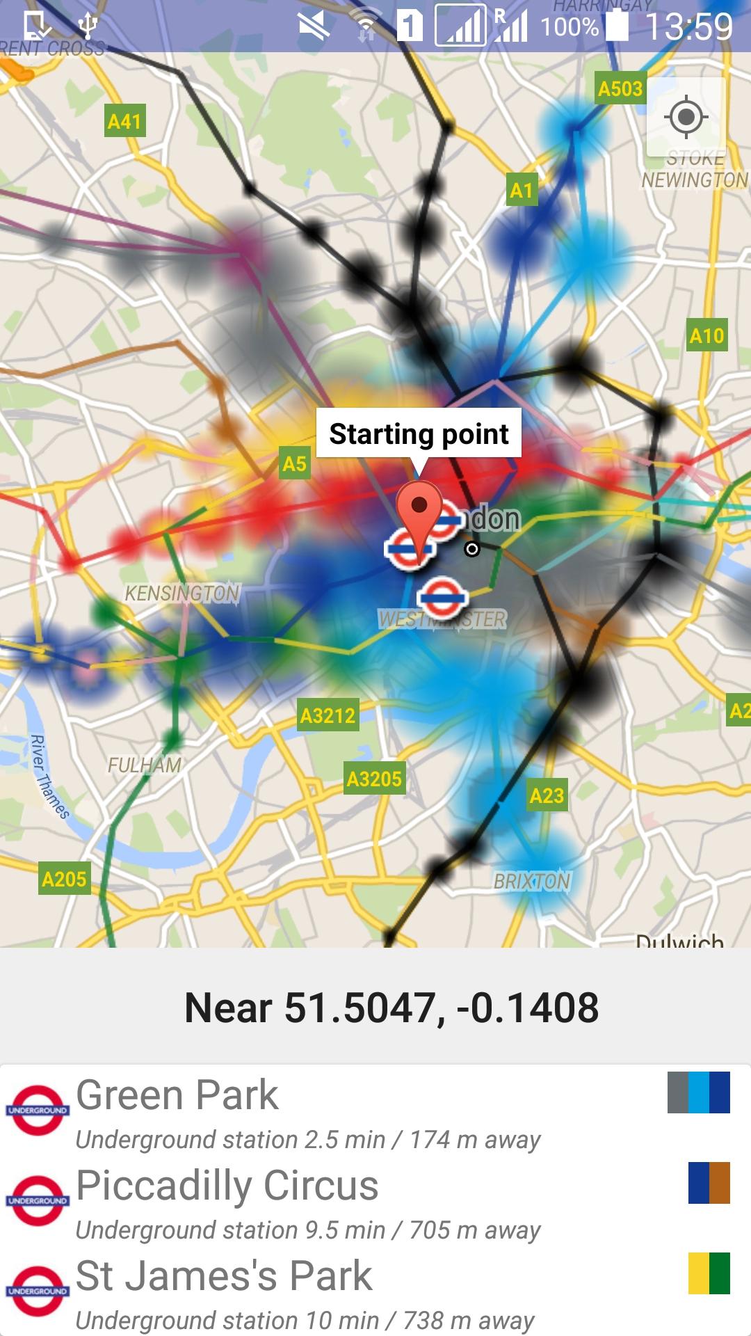
Few years ago when I was looking for rents it came up that I don’t want to commute more than 20 minutes. It was hard to look for rents, because I didn’t really know London and most of the websites don’t have the best map experience when searching. So I went ahead and used TfL’s public data to build myself an app that can help. I can easily set up my parameters and see immediate visual feedback of good places to live.
Future
In the future I want to create an app that looks differently at local travel, one that departs from the usual, status updates, current schedule and two-point routing. Sadly this requires time, but I hope I’ll get there eventually.
Details
To find more info about the current state of the app, go to the Google Play Store and read the description.
Line status history
When looking at the data available from TfL, I found that it publishes the line statuses. Sometimes I had the urge to see what’s going on in the city. For example at times of a bigger snowfall, storm, or just a sports event. By the time I found out the status was most of the time already back to normal. The website linked above allows you to see what was happening in the past.
